VFR Germany 3 – South
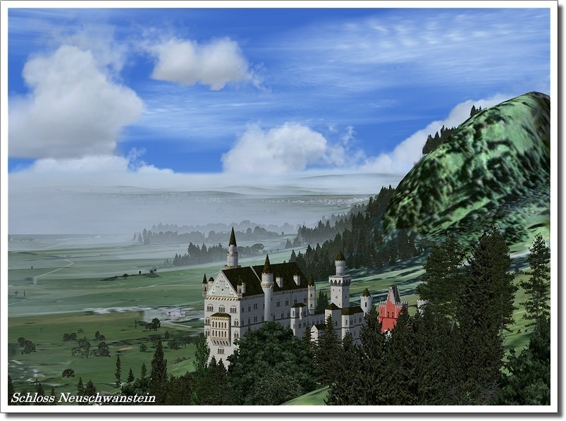
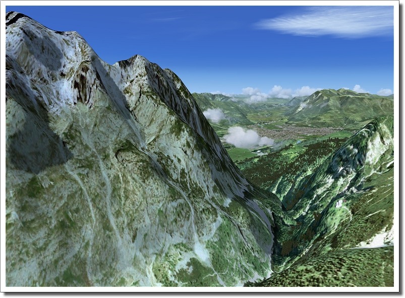
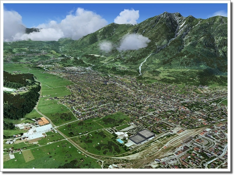
This scenery series will impress you like no other before: The third part (South) brings you thousands of VFR objects and millions (yes, millions!) of exactly placed buildings placed on 95,000km² of aerial images!
Features:
- 95,000km² of aerial images at a stunning resolution of 1m/pix
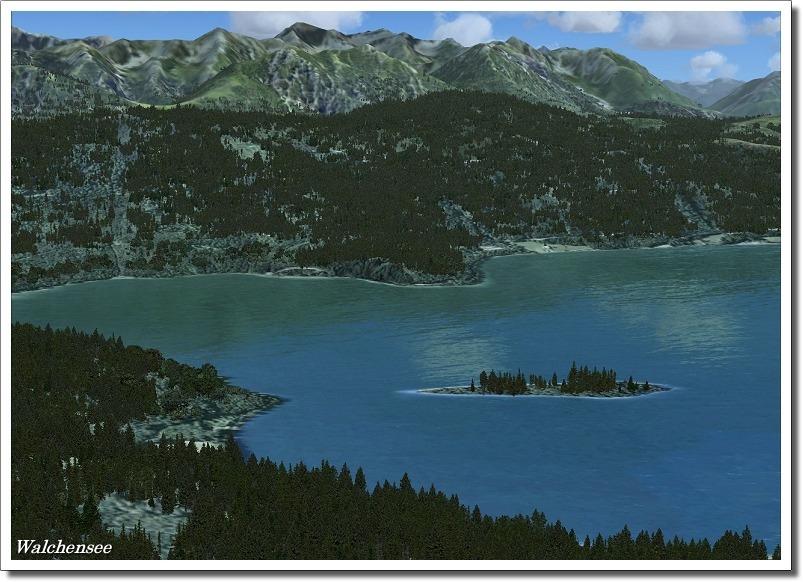
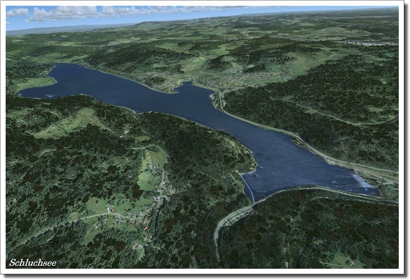
- Almost all lakes, rivers etc. with water masks (reflecting and landable for floaters)
- Thousands of important VFR reference points like transmission towers, factories and much more
- New custom-made autogen replacing the default autogen buildings with typical German looking buildings
- Autogen buildings placed at their exact locations using a database of more than several Million (!) objects!
- Airport runways adjusted to the aerial images
- Additional glider and ultralight airfields, which were not included in FSX yet
- Extensive manual in English and German
- VFR map for the whole area

